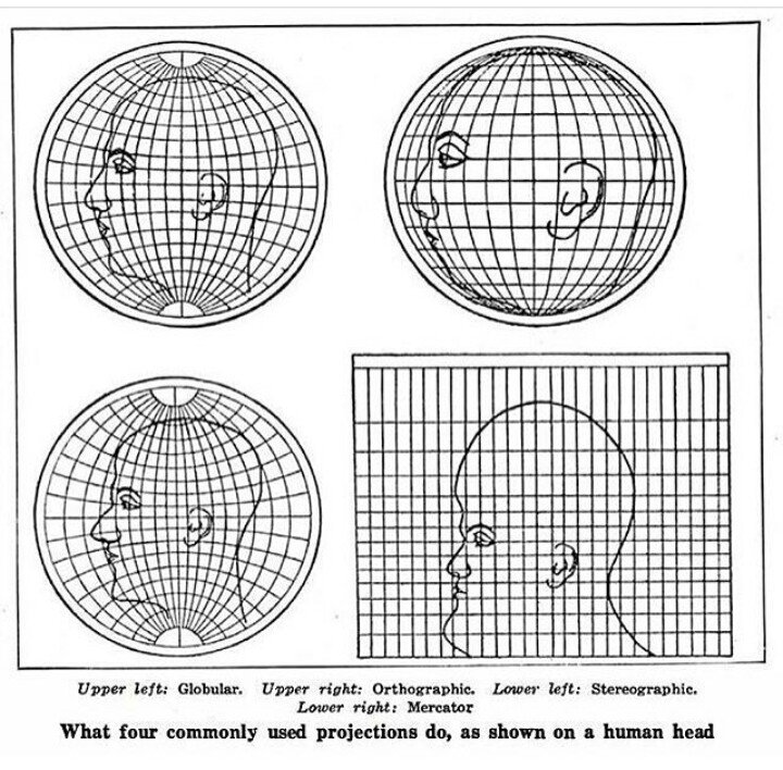
Concepts “Map projections try to portray the surface of the earth, or a portion of the earth, on a flat piece of paper o...
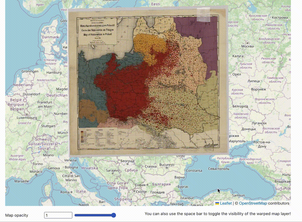
In this tutorial you will learn how to adjust a layer’s opacity in QGIS so that you can “see underneath” or through the ...
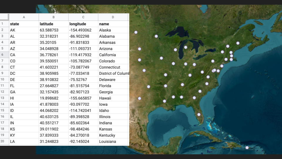
This tutorial will cover how to add tabular data to a QGIS project. If your spreadsheet is saved in .XLSX format, export...
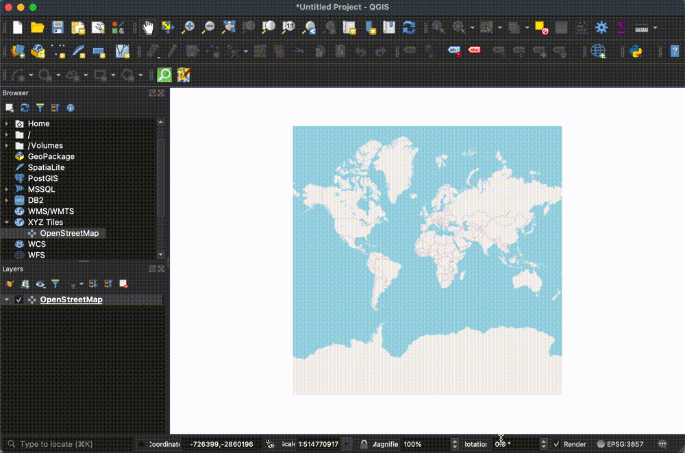
Basemaps can be helpful reference points when working with spatial data. How to add a basemap to your project Open a new...